 CityBuddy
Trilha do Monte Slavnik
Paras aika vierailla
Late spring through early autumn for the clearest visibility. Early morning offers the best light for photography and the calmest winds at the summit.
Budjettivinkit
The trail is completely free with no entry fees or permits required. Bring your own food and water as there are no shops or restaurants on the mountain.
Suositellaan
Day hikers, Photography enthusiasts, Mountain bikers (expert level), Couples seeking sunset views
Suunnittele vierailusi
3-4 hours
Tietoa
Nopeat faktat: Slavnik kohoaa 1 028 metriä Istrian niemimaan yläpuolelle, mikä tekee siitä Slovenian Istrian korkeimman kohdan. Selkeällä säällä huipulta on näkymät Triestenlahden yli Dolomiiteille ja jopa Kroatian saarille.
Kohokohdat: Slavnikin huipulla on yksi Slovenian harvoista toiminnassa olevista säätutka-asemista, valtava valkoinen kupoli, joka näyttää lähes yliluonnolliselta vihreiden kukkuloiden keskellä. Retkeilijät, jotka ajoittavat saapumisensa auringonnousuun, voivat nähdä tutkakupolin hehkuvan vaaleanpunaisena, kun koko Istrian rannikko nousee hitaasti esiin aamusumusta alhaalla.
Sisäpiirin vinkit
- Wear sturdy hiking boots, the trail gets rocky and steep near the top especially after rain.
- Start from the village of Podgorje to follow the most scenic and well-marked path marked with red waymarkers.
- Pack a windbreaker even on hot days, the summit is consistently windy and temperatures drop noticeably.
- Bring binoculars to spot Trieste, the Julian Alps, and even Venice's outline on exceptionally clear days.
Where to Stay in Koper
Selected by City Buddy based on guest reviews and proximity to top attractions
Search all hotels in KoperPowered by agoda
Lisää nähtävyyksiä kaupungissa Koper
Kaikki nähtävyydet kaupungissa Koper →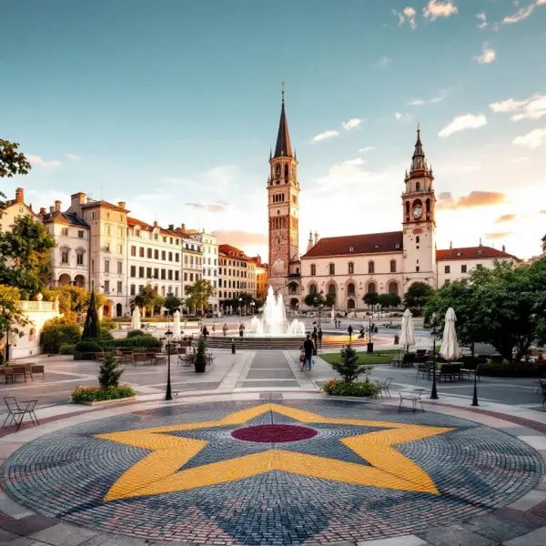
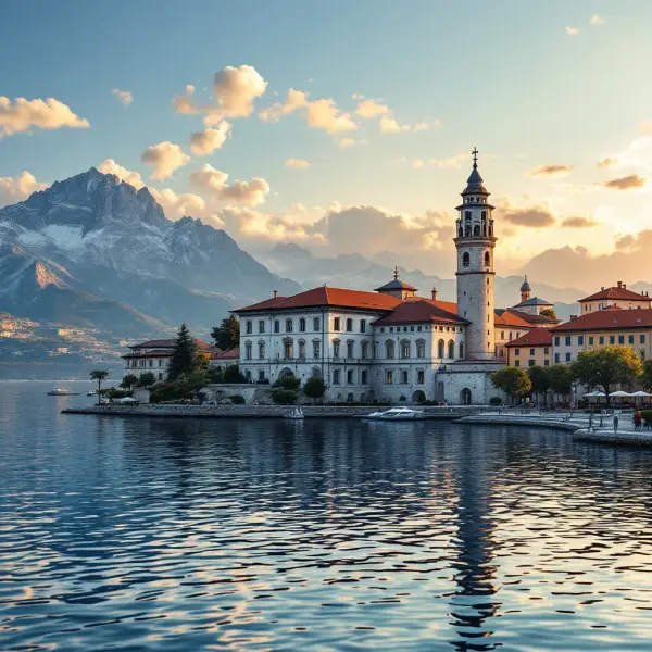
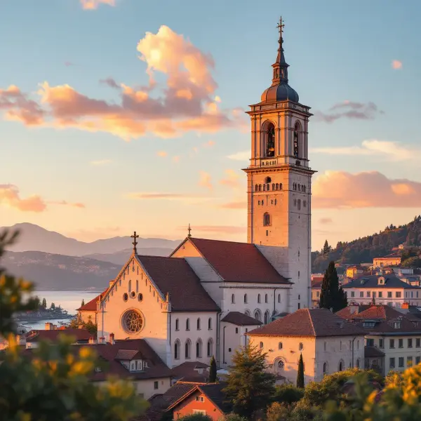
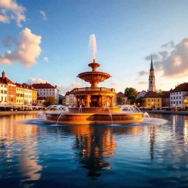
Most popular itineraries!
Browse trip plans created by other travelers
5 Dias em Koper para Aventureiros da Natureza
Descubra Koper pelos trilhos, mar e vistas deslumbrantes: caminhe pelas montanhas costeiras, pedale entre vinhedos, pratique esportes aquáticos no Adriático e explore joias históricas entre uma aventura e outra.
5 Dias em Koper: Beleza Costeira e História Eslovena
Explore o charme medieval de Koper, a joia da costa eslovena, com dias repletos de história, mar e sabores do Adriático neste verão inesquecível.